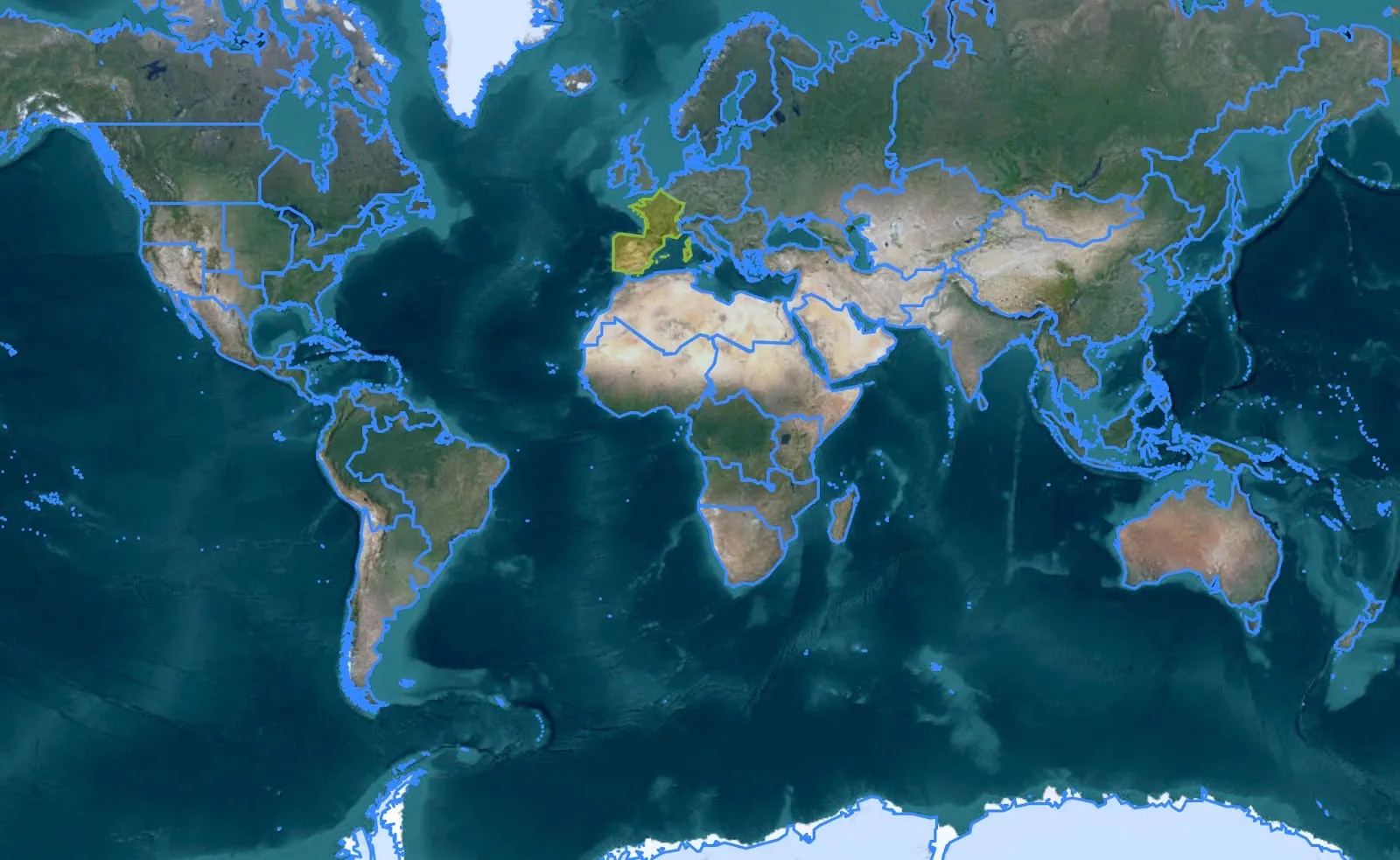
WGSRPD Geographical Reference
Regionalized Floras
Section titled “Regionalized Floras”To improve plant identification, Pl@ntNet only displays relevant species based on the selected region. Until now, covering all regional floras has been difficult due to the lack of universal standards and the burden of manual updates.
Thanks to the adoption of the POWO reference, we now use a public standard provided by the TDWG (Taxonomic Databases Working Group). This standard, named World Geographical Scheme for Recording Plant Distributions (WGSRPD), defines geographical areas for each country and region. Combined with the POWO reference list, this standard allows us to offer a specific flora for each geographical region.
We thus cover all regions of the world, with adapted representation for each continent. The geographical distribution used takes into account territorial limits and floristic particularities, allowing us to offer users a personalized and localized experience.
By adopting this global reference, Pl@ntNet ensures that it provides a solid, relevant and up-to-date taxonomic basis, while facilitating plant identification for all users, regardless of their observation location.
